Pagalba
 Kontaktai
 Atsiliepimai
 Verslui
 Varlė
Varlė


Krepšelis tuščias
Turite Varlės paskyrą?
Prisijunkite, kad pamatytumėte krepšelio turinį
Prisijungti

 Visos prekės


 Krepšelis
Tuščias
Prekių
Krepšelis
Krepšelis
Tuščias
Prekių
Krepšelis
Prisijunkite, kad pamatytumėte krepšelio turinį
Prisijungti
 4.8
4.8

 4.8
4.8
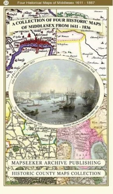
Middlesex 1611 – 1836 – Fold Up Map that features a collection of Four Historic Maps, John Speed’s County Map 1611, Johan Blaeu’s County Map of 1648, Thomas Moules County Map of 1836 and a Map of the Environs of London 1836.. Published by Historical Images Ltd, (2019), Paperback, 1 pages.


 3-7 d. d.


 1 d. d.
 5-10 d. d.
 5-10 d. d.

 5-8 d. d.

 13-14 d. d.
 5-10 d. d.

 4-6 d. d.


 Atsiėmimas Venipak paštomate rugsėjo 21 d.